Greetings from the Appalachian trail!So ya, this is the complete opposite of the Pacific Crest Trail, but at least we're not trudging through 20 feet of snow and carrying ice axes and crampons!
We're doing a few sections of the AT instead. Check out photos below!The RouteGlenn and I got a ride out there with a guy we met through Craigs list who was heading to North Carolina. We stopped by some cool spots on the way out (Petrofied Forest in AZ, White Sands in NM, and stopped by the Smithville Jamboree in TN for some authentic bluegrass gospel music). Esteban dropped us off in the Smokies and we started hiking from Clingman's Dome in the going North following the AT on North Carolina/Tennessee border. After hiking about 6 days (75 miles) we stopped at Hot Springs for a soak in the tubs (heavenly), some fried food and icecream. Then we hiked from there North to Erwin, TN (another 6 days and about 70 more miles) where we stayed at a cute place called Uncle Johnny's.
Got free shuttles into town, clean laundry, tv/vcr, nice hot showers, and 40 cent snickers bars. Can't beat that.
We hitchhiked from Erwin North up past Britsol with some old hippy friendly gus, then East to Damascus with a nice Baptist missionary man. It was way easier than we were expecting to hitch, we probably didn't wait more than 10 or fifteen minutes each ride- woohoo!
Now we're hanging out at "The Friendliest Library on the Trail" Damascus, VA. We're staying at a hostel called "The Place" run by the Methodist church for $4/night. We're heading back out on the trail tommorow morning after an all you can eat $4.99 pancake breakfast!
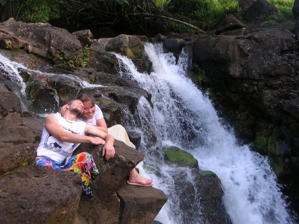
From here, we're heading North to Mt Rogers and Burke's Gardens up near Blend Va. From there we will hitchhike again up to Luray and canoe the Shendoah river for a few days up to Harper's Ferry. (Virginia is a big state!)
Then we're going to spend a day or two in DC before we fly back to California at the end of July. Quite an adventure!
I'll post more pictures as I can (which probably won't be for another week or two).
Check out this website if you'd like to know more about the trail:
http://www.appalachiantrail.org/site/c.jkLXJ8MQKtH/b.727749/k.91A1/AT_Essentials.htmHere's a map of the whole trail so you know what I'm talking about:
http://www.nps.gov/applications/parks/appa/ppMaps/ATmap.pdfPHOTOS!!Here are some highlights from our trip so far!


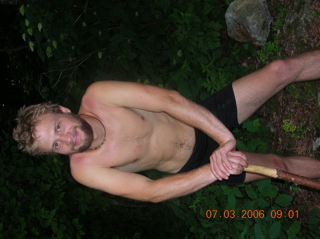
So as a lot of you may know, Glenn and I got inspire to make a lot of our own gear after reading Ray Gardine's book "Beyond Backpacking," which emphasizes light weight gear, and simple, fast drying clothes.
One of the tips was to wear spandex shorts hiking, which are supposed to help prevent chaffing, are flexible and comfortable, and quick drying.
Glenn just likes them because he can hike and feel like he's naked.I think they're pretty comfy, but usually wear my nylon adventure skirt over top of them cause I'm not quite as confident in spandex as he is yet.

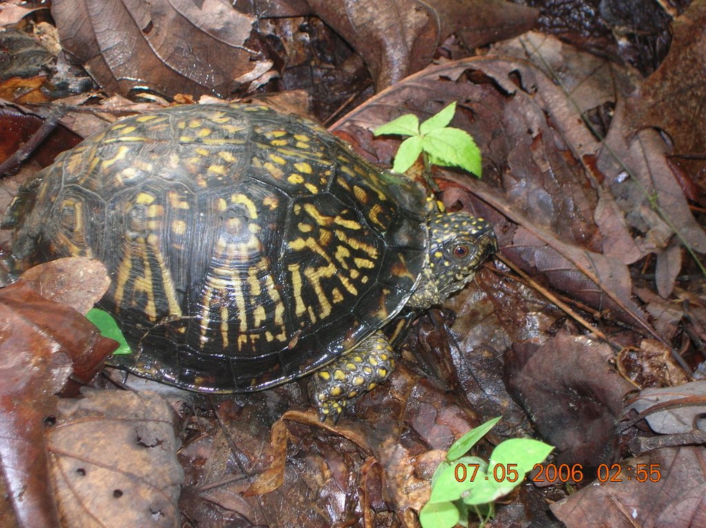
We've seen lots of wildlife on the trail so far: mosquitos, flies, stinging flies, moths....so okay, not that exciting. We have seen lots of butterflies, bees, and fire flies:), a black rattle snake (timberline rattler or something?), a mouse, some beautiful birds, wilde turkeys, and two turtles! This little guy was just walking right across the trail.
We heard a coyote or something the other night, and heard of a bear close by, but didn't see him...
So here is a picture of the Great Smoky Mountains- ain't it pretty? Okay, so it's a picture of a postcard we found at a hostel. We didn't get any pictures when we were in the Smokies cause the extra batteries I had were actually dead. Sorry, that's the best I can do for now.
AT vs PCTHiking on the Appalachian trail is a lot different than what we were expecting on the PCT. There are shelters along the trail, a lot of roads (and sometimes noisy people/cars), and lots of hostels right off the trail. This kind of caught me off guard cause I was expecting more of a wilderness experience far away from any kind of civilization.
There are shelters every 10 or fifteen miles that you can stay at (3 sided structure that can sleep from 5-16 people, with a privy, water source, camp fire pit, and sometimes bear cables to hang bear bags.) So it doesn't feel as rugged or backcountry-ish, because you don't have to set up camp all the time if you don't want to .
We were expecting to have to set up camp on the PCT, so we carry our lightweight net tent and string up our tarp if it looks like rain. We've only stayed at two shelters so far, it's nice to camp and try to see some stars and feel the stillness of the woods. It's nice to stay at a shelter when it's dumping outside, and it's nice to meet other people, but it's also really great to have the option to set up camp wherever we want, rather than being limited to staying where the shelters are.
The terrain is a lot different too, obviously. The "mountains" are more like rolling green hills, with LOTS of foliage and trees galore, plus some kind of stinging nettles which we are getting pretty tired of hiking through. The streams are pretty hilarious too, sometimes when we filter water, we have to dig a little trench to make a deep enough puddle to cover the filter tip, but there are some big wide streams and rivers too.
There are a lot of little hostels to stay at with people who love hikers, since the trail is older, there is just a huge community of AT supporters who love to hear about where we've been and where we're going. Glenn keeps saying that a lot of the cool part of hiking the AT is all the cool little towns and communities it passes through on the way, it's not just about the scenery, cause honestly, it can get monotonous sometimes. Some hikers we talked to said the AT is sometimes referred to as the "Green Tunnel" and I think we're just getting a little taste of it. It gets tiring to not see the sky for hours at a time (because of the tree canopy overhead). Don't get me wrong, it's pretty, and it's really nice when we get to a high spot with some views, but it's definitely not what we're used to.
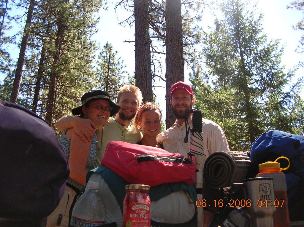
Some Thoughts on our Trip so Far...There are not too many people out on the trail where we are, since all the thru-hikers are in Northern VA by now, but we've met some other section hikers like ourselves, and other couples out for a week or a few days...Lots of time to relax and think. And NOT ThinK.
It's nice to live a simpler life with everything we need right on our backs. We switch off doing the chores (hanging the bear bag, cooking meals, setting up the tent, filtering water or gathering fire wood.) Then I try to paint every so often, and we write in our journals, and I press flowers that I pick along the trail. We've also been reading some short stories about the area we're hiking in from the Civil War, which really gives us more insight about all that has happened in this land we are hiking through- pretty cool.
I think Glenn and I are spoiled, being used to the tall 10-14000 ft moutains with rushing streams and icy lakes galore, so I guess we're getting used to appreicating a different kind of beauty out here on the 6000 ft "peaks" and trickling brooks. There is a whole lot of history in this part of the country, and it's cool to get a little taste of southern hospitality and culture- most of the people we have talked to have been very friendly, talkative and helpful. We're looking forward to a little different terrain in VA, and canoeing will be a nice treat.
I'm still itchin to do the PCT, perhaps we can do a big section next summer, let's pray for less snow (or maybe we'll just have to take some self arrest classes to deal with some of those icy passes... we will see)
It's nice to be flexible and change our plans as we need to, as we have already re-routed a few times. "Do it while your young" right mom and dad?, that's what they always say.
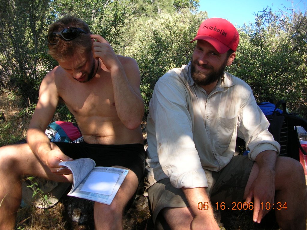
 Glenn= Taut Line. He's super good at knots, and loves to use the Taut Line Hitch, a famous one used in Boy scouts. He's also always on top of it, has all of his stuff organized, knows where he's going, and knows what to do in tricky situations.
 Krystal=palette or paint brush. I've been doing small watercolors every couple of days, appreciate a wide variety of colors, textures and life around me. I also collect and press wildflowers and, you know, do the artsy stuff I like to do.
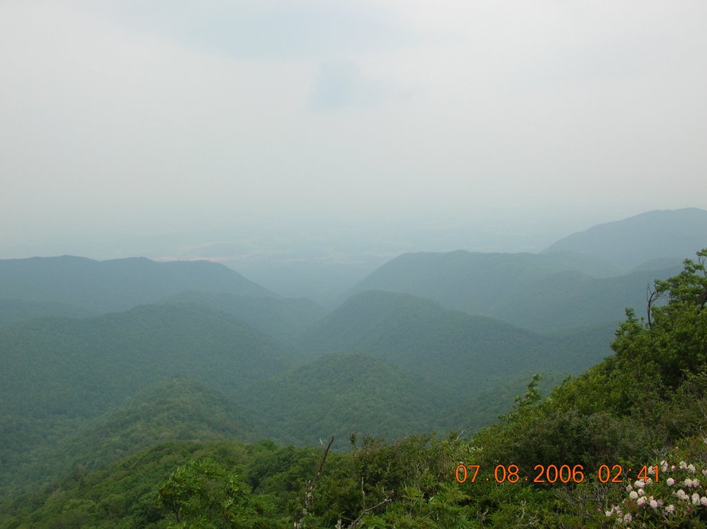 This is a typical view when we get out of the woods- looks like layers and layers of rolling hills- pretty eh?